TYPE:
SENSOR
LAYER:
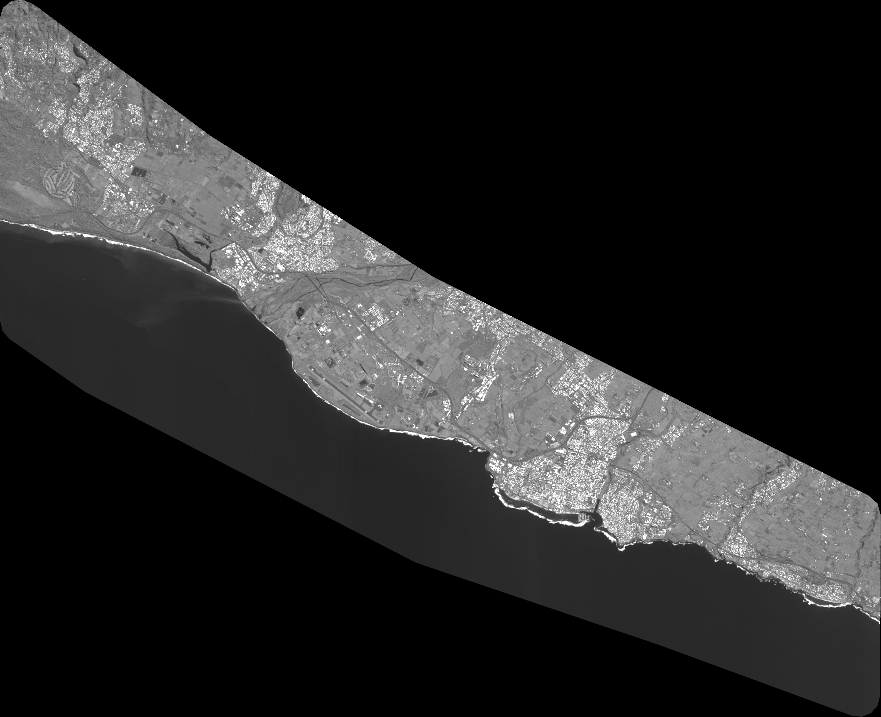
DS_PHR1A_202406020636065_FR1_PX_E055S21_0603_01459
FORMAT:
DIMAP
RASTER:
image/tiff
General Information
Map Name
Geometric Processing Level
Radiometric Processing Level
BASIC
Image dimensions
Number of columns
38779
Number of rows
31567
Number of spectral bands
1
Dataset framing
Vertice
Longitude (DEG)
Latitude (DEG)
Row
Col
#1
55.34449140142074
-21.23131415550954
#2
55.54275006532149
-21.22591546834698
#3
55.54323829259553
-21.38874704537053
#4
55.34465417571143
-21.39183008332391
Dataset sources
PHR
Coordinate Reference System
Projected Coordinate System
Geocoding tables identification
EPSG(6.3)
Production
Production Date
2024-06-03T13:28:35.547
Job identification
7029679101-1
Dataset Producer Identification
AIRBUS DS GEO
Producer link
http://www.geo-airbusds.com
Quicklook
Copyright