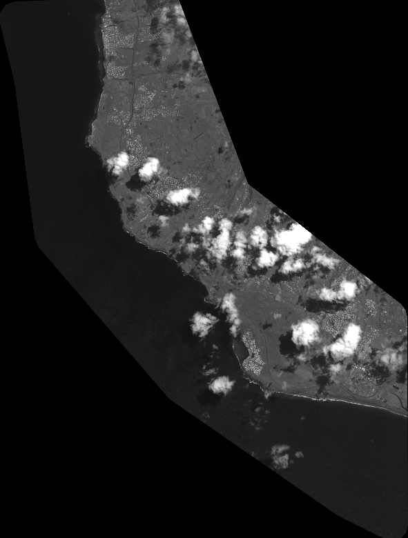
TYPE:
SENSOR
LAYER:
DS_PHR1B_202402200629228_FR1_PX_E055S22_0419_01551
FORMAT:
DIMAP
RASTER:
image/tiff
General Information
Map Name
Geometric Processing Level
Radiometric Processing Level
BASIC
Image dimensions
Number of columns
26028
Number of rows
34352
Number of spectral bands
1
Dataset framing
Vertice
Longitude (DEG)
Latitude (DEG)
Row
Col
#1
55.25222036348235
-21.15889987726266
#2
55.39121489040002
-21.16783679784711
#3
55.38671422412433
-21.32708255014731
#4
55.25235156681982
-21.32227962779337
Dataset sources
PHR
Coordinate Reference System
Projected Coordinate System
Geocoding tables identification
EPSG(6.3)
Production
Production Date
2024-02-29T13:19:54.485
Job identification
6934793101-1
Dataset Producer Identification
AIRBUS DS GEO
Producer link
http://www.geo-airbusds.com
Quicklook
Copyright