TYPE:
SENSOR
LAYER:
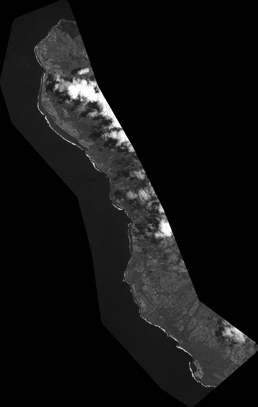
DS_PHR1A_202310050641023_FR1_PX_E055S22_0421_02668
FORMAT:
DIMAP
RASTER:
image/tiff
General Information
Map Name
Geometric Processing Level
Radiometric Processing Level
BASIC
Image dimensions
Number of columns
37254
Number of rows
58768
Number of spectral bands
1
Dataset framing
Vertice
Longitude (DEG)
Latitude (DEG)
Row
Col
#1
55.18988677764938
-21.00273432755164
#2
55.37816039312386
-21.00630113541224
#3
55.3795805149056
-21.29763220250154
#4
55.18936821928965
-21.29093619890596
Dataset sources
PHR
Coordinate Reference System
Projected Coordinate System
Geocoding tables identification
EPSG(6.3)
Production
Production Date
2023-10-05T19:16:19.359
Job identification
6820626101-1
Dataset Producer Identification
AIRBUS DS GEO
Producer link
http://www.geo-airbusds.com
Quicklook
Copyright