TYPE:
SENSOR
LAYER:
DS_PHR1A_202310050641023_FR1_PX_E055S22_0421_02668
FORMAT:
DIMAP
RASTER:
image/tiff
General Information
Map Name
Geometric Processing Level
Radiometric Processing Level
BASIC
Image dimensions
Number of columns
9314
Number of rows
14693
Number of spectral bands
4
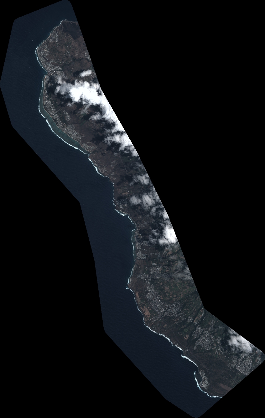
Dataset framing
Vertice
Longitude (DEG)
Latitude (DEG)
Row
Col
#1
55.18988929120007
-21.00274175679341
1
#2
55.37815776107775
-21.00630817229102
#3
55.37957797944814
-21.29764444065389
#4
55.1893707238446
-21.29094857393256
Dataset sources
PHR
Coordinate Reference System
Projected Coordinate System
Geocoding tables identification
EPSG(6.3)
Production
Production Date
2023-10-05T19:16:18.410
Job identification
6820626101-2
Dataset Producer Identification
AIRBUS DS GEO
Producer link
http://www.geo-airbusds.com
Quicklook
Copyright