TYPE:
SENSOR
LAYER:
DS_PHR1B_202306170637168_FR1_PX_E055S22_0821_01952
FORMAT:
DIMAP
RASTER:
image/jp2
General Information
Map Name
Geometric Processing Level
Radiometric Processing Level
BASIC
Image dimensions
Number of columns
39973
Number of rows
43380
Number of spectral bands
1
Dataset framing
Vertice
Longitude (DEG)
Latitude (DEG)
Row
Col
#1
55.53669199308427
-21.04037317893039
#2
55.73148615816766
-21.03928659660888
#3
55.72982822383
-21.2356722262564
#4
55.53612678653887
-21.23574570640265
Dataset sources
PHR
Coordinate Reference System
Projected Coordinate System
Geocoding tables identification
EPSG(6.3)
Production
Production Date
2023-06-19T07:54:31.196
Job identification
6726030101-1
Dataset Producer Identification
AIRBUS DS GEO
Producer link
http://www.geo-airbusds.com
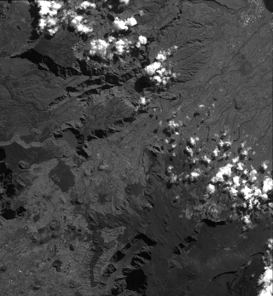
Quicklook
Copyright