TYPE:
SENSOR
LAYER:
DS_PHR1B_202306100641280_FR1_PX_E055S22_0420_01689
FORMAT:
DIMAP
RASTER:
image/jp2
General Information
Map Name
Geometric Processing Level
Radiometric Processing Level
BASIC
Image dimensions
Number of columns
37397
Number of rows
37460
Number of spectral bands
1
Dataset framing
Vertice
Longitude (DEG)
Latitude (DEG)
Row
Col
#1
55.23636673605169
-21.11959118631614
#2
55.42727734345764
-21.11305192718036
#3
55.43229547116265
-21.29184458177209
#4
55.23601370440142
-21.30176184644321
Dataset sources
PHR
Coordinate Reference System
Projected Coordinate System
Geocoding tables identification
EPSG(6.3)
Production
Production Date
2023-06-19T09:20:46.671
Job identification
6726306101-1
Dataset Producer Identification
AIRBUS DS GEO
Producer link
http://www.geo-airbusds.com
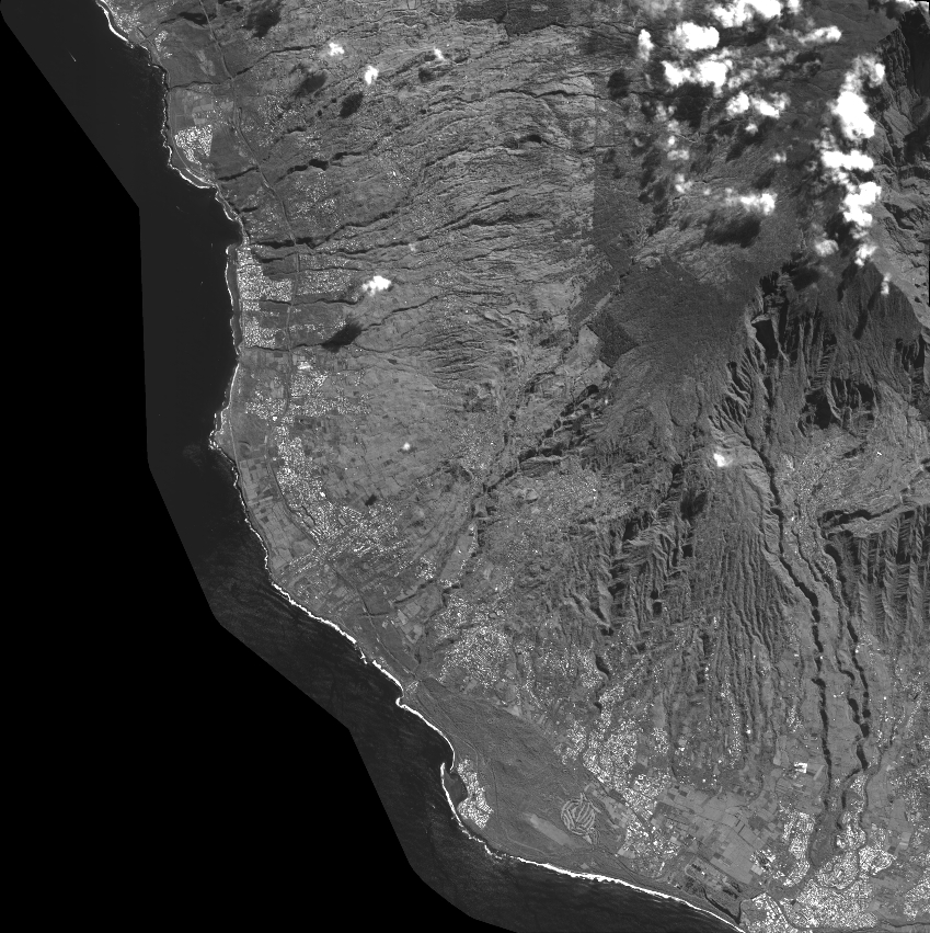
Quicklook
Copyright