TYPE:
SENSOR
LAYER:
DS_PHR1B_202306100641280_FR1_PX_E055S22_0420_01689
FORMAT:
DIMAP
RASTER:
image/jp2
General Information
Map Name
Geometric Processing Level
Radiometric Processing Level
BASIC
Image dimensions
Number of columns
9349
Number of rows
9365
Number of spectral bands
4
Dataset framing
Vertice
Longitude (DEG)
Latitude (DEG)
Row
Col
#1
55.23637973199843
-21.1195977400333
1
#2
55.42726725375842
-21.11306187074448
#3
55.43228750433413
-21.29183769513151
#4
55.23602677018535
-21.30175389691772
Dataset sources
PHR
Coordinate Reference System
Projected Coordinate System
Geocoding tables identification
EPSG(6.3)
Production
Production Date
2023-06-19T09:19:56.969
Job identification
6726306101-2
Dataset Producer Identification
AIRBUS DS GEO
Producer link
http://www.geo-airbusds.com
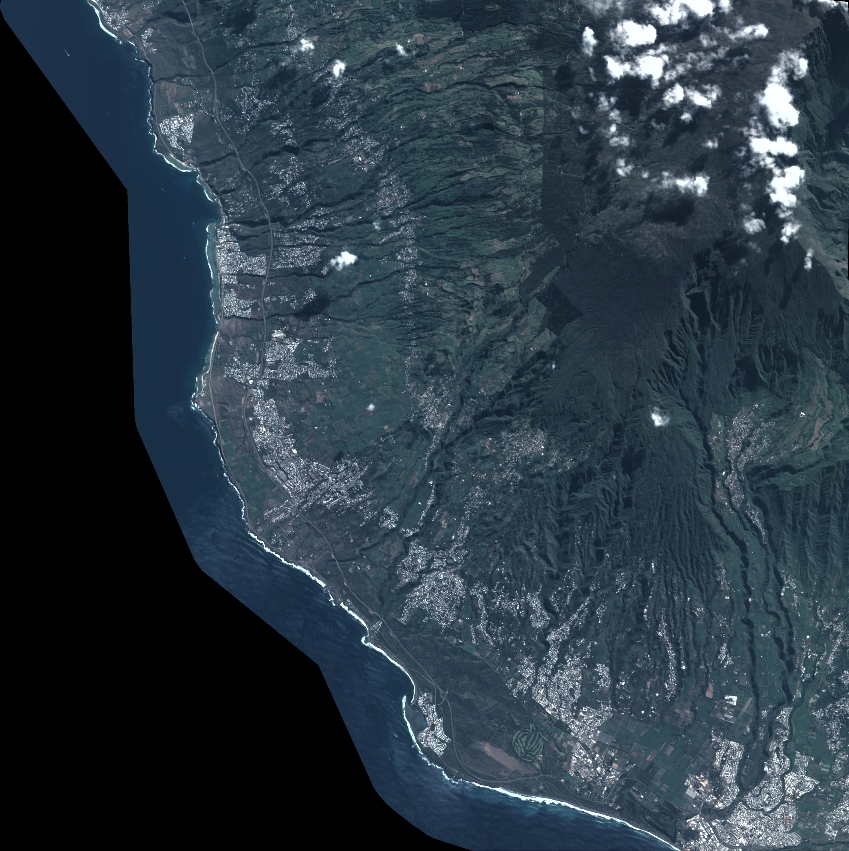
Quicklook
Copyright