TYPE:
SENSOR
LAYER:
DS_PHR1A_202306040637463_FR1_PX_E055S21_0603_01898
FORMAT:
DIMAP
RASTER:
image/jp2
General Information
Map Name
Geometric Processing Level
Radiometric Processing Level
BASIC
Image dimensions
Number of columns
8872
Number of rows
10110
Number of spectral bands
4
Dataset framing
Vertice
Longitude (DEG)
Latitude (DEG)
Row
Col
#1
55.36520205355082
-20.84754063062168
1
#2
55.54696247232861
-20.84058511293704
#3
55.54596564589494
-21.04661283728418
#4
55.36400108421024
-21.05378631309922
Dataset sources
PHR
Coordinate Reference System
Projected Coordinate System
Geocoding tables identification
EPSG(6.3)
Production
Production Date
2023-06-05T14:48:51.946
Job identification
6716200101-2
Dataset Producer Identification
AIRBUS DS GEO
Producer link
http://www.geo-airbusds.com
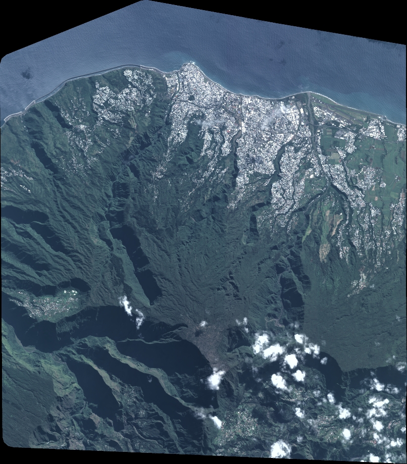
Quicklook
Copyright