TYPE:
SENSOR
LAYER:
DS_PHR1B_202306030645048_FR1_PX_E055S22_1018_02325
FORMAT:
DIMAP
RASTER:
image/jp2
General Information
Map Name
Geometric Processing Level
Radiometric Processing Level
BASIC
Image dimensions
Number of columns
7743
Number of rows
12944
Number of spectral bands
4
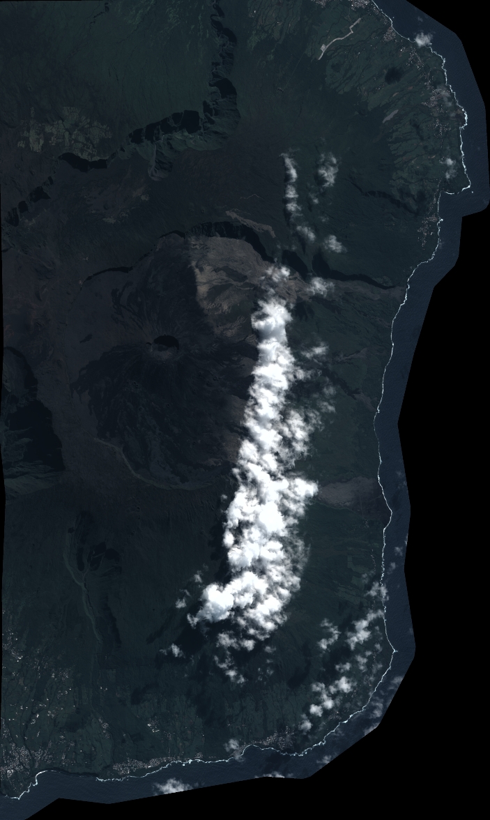
Dataset framing
Vertice
Longitude (DEG)
Latitude (DEG)
Row
Col
#1
55.66005438744536
-21.13733999835618
1
#2
55.8436074346676
-21.12469606169114
#3
55.84432082265072
-21.38260177128947
#4
55.66431929325081
-21.39109953333784
Dataset sources
PHR
Coordinate Reference System
Projected Coordinate System
Geocoding tables identification
EPSG(6.3)
Production
Production Date
2023-06-19T09:23:18.992
Job identification
6726307101-2
Dataset Producer Identification
AIRBUS DS GEO
Producer link
http://www.geo-airbusds.com
Quicklook
Copyright