TYPE:
SENSOR
LAYER:
SEN_SPOT6_20230522_061236500_000
FORMAT:
DIMAP
RASTER:
image/jp2
General Information
Map Name
Geometric Processing Level
Radiometric Processing Level
BASIC
Image dimensions
Number of columns
38589
Number of rows
32989
Number of spectral bands
1
Dataset framing
Vertice
Longitude (DEG)
Latitude (DEG)
Row
Col
#1
55.4599756122
-20.9707471003
#2
56.1446973079
-20.8937495013
#3
56.1478453897
-21.4486081615
#4
55.4573009987
-21.5253237937
Dataset sources
SPOT
Coordinate Reference System
Projected Coordinate System
Geocoding tables identification
ITU(0.0)
Production
Production Date
2023-05-30T11:37:25.00Z
Job identification
SPOT6_20230530_11125317hayjbw7m1m7_1
Dataset Producer Identification
"SRD GEOSUD / IRD, Irstea, IGN"
Producer link
http://geosud.teledetection.fr/
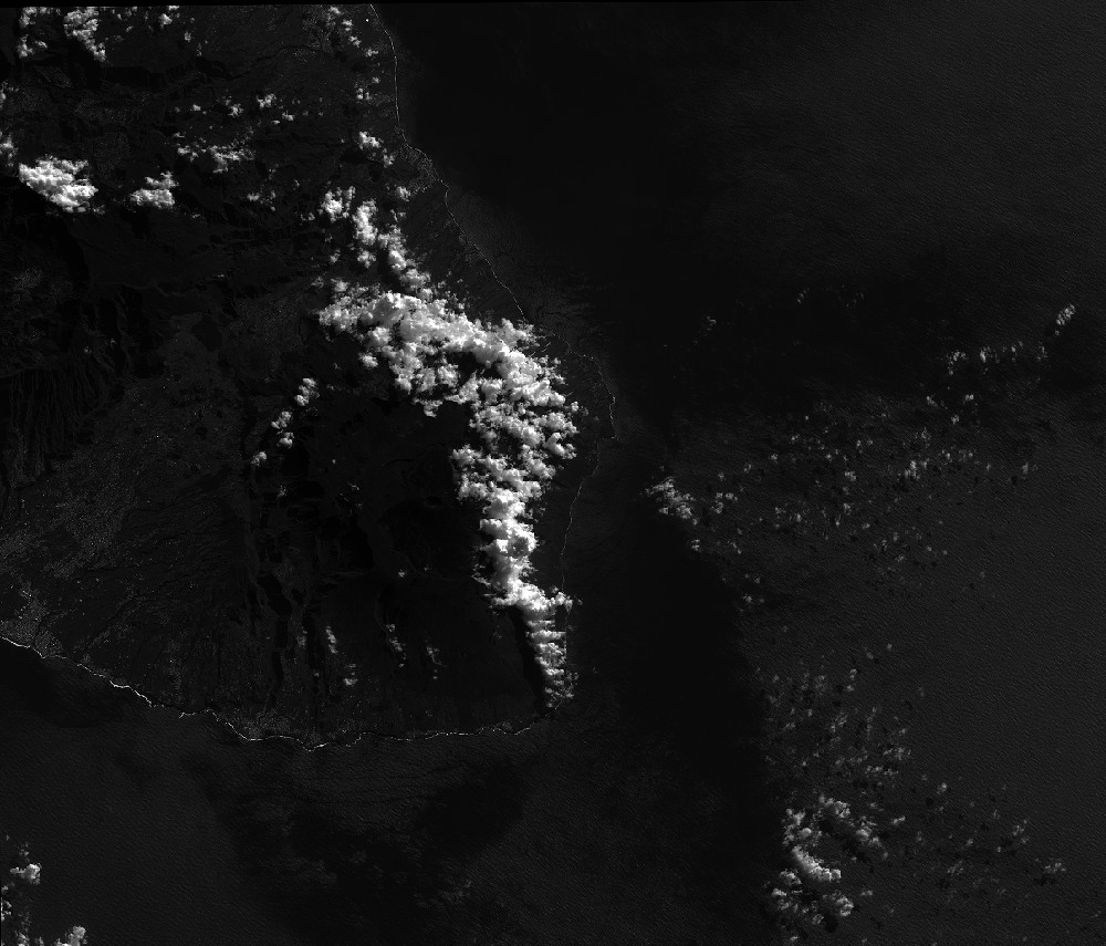
Quicklook
Copyright