TYPE:
SENSOR
LAYER:
DS_PHR1B_202305150640551_FR1_PX_E055S22_0421_01949
FORMAT:
DIMAP
RASTER:
image/jp2
General Information
Map Name
Geometric Processing Level
Radiometric Processing Level
BASIC
Image dimensions
Number of columns
39646
Number of rows
43312
Number of spectral bands
1
Dataset framing
Vertice
Longitude (DEG)
Latitude (DEG)
Row
Col
#1
55.19725088132658
-21.04145747950356
#2
55.394801577279
-21.03761543510822
#3
55.39636620061909
-21.23829752765237
#4
55.19687639145884
-21.24178921913389
Dataset sources
PHR
Coordinate Reference System
Projected Coordinate System
Geocoding tables identification
EPSG(6.3)
Production
Production Date
2023-05-16T10:18:11.576
Job identification
6701326101-1
Dataset Producer Identification
AIRBUS DS GEO
Producer link
http://www.geo-airbusds.com
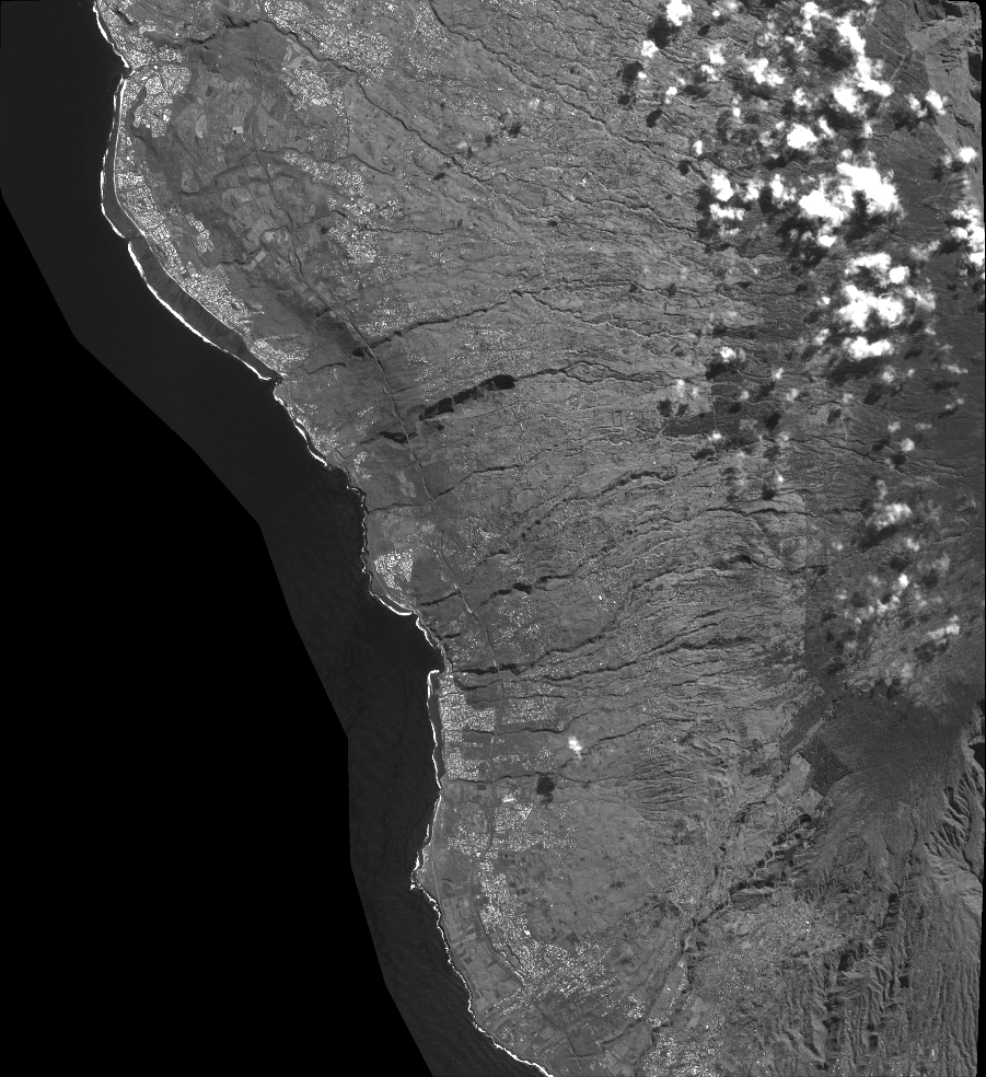
Quicklook
Copyright