TYPE:
SENSOR
LAYER:
DS_PHR1A_202305090636511_FR1_PX_E055S22_0821_01871
FORMAT:
DIMAP
RASTER:
image/jp2
General Information
Map Name
Geometric Processing Level
Radiometric Processing Level
BASIC
Image dimensions
Number of columns
9957
Number of rows
10220
Number of spectral bands
4
Dataset framing
Vertice
Longitude (DEG)
Latitude (DEG)
Row
Col
#1
55.53612620145599
-21.21344104133101
1
#2
55.73198092237014
-21.21427317126043
#3
55.73300596393557
-21.40776036172219
#4
55.53621101383394
-21.40621616982911
Dataset sources
PHR
Coordinate Reference System
Projected Coordinate System
Geocoding tables identification
EPSG(6.3)
Production
Production Date
2023-05-10T09:26:55.147
Job identification
6699449101-2
Dataset Producer Identification
AIRBUS DS GEO
Producer link
http://www.geo-airbusds.com
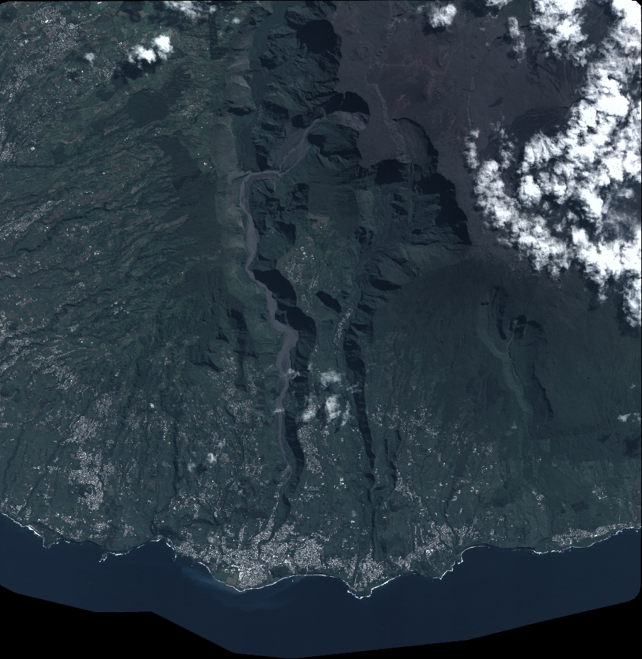
Quicklook
Copyright