TYPE:
SENSOR
LAYER:
DS_PHR1A_202304130637157_FR1_PX_E055S21_0401_01940
FORMAT:
DIMAP
RASTER:
image/jp2
General Information
Map Name
Geometric Processing Level
Radiometric Processing Level
BASIC
Image dimensions
Number of columns
39666
Number of rows
41743
Number of spectral bands
1
Dataset framing
Vertice
Longitude (DEG)
Latitude (DEG)
Row
Col
#1
55.19726005419199
-20.86572452110806
#2
55.39472207055005
-20.86244449341941
#3
55.39382404811712
-21.06501890671278
#4
55.19737127907613
-21.06415110694306
Dataset sources
PHR
Coordinate Reference System
Projected Coordinate System
Geocoding tables identification
EPSG(6.3)
Production
Production Date
2023-04-17T13:00:50.046
Job identification
6684874101-1
Dataset Producer Identification
AIRBUS DS GEO
Producer link
http://www.geo-airbusds.com
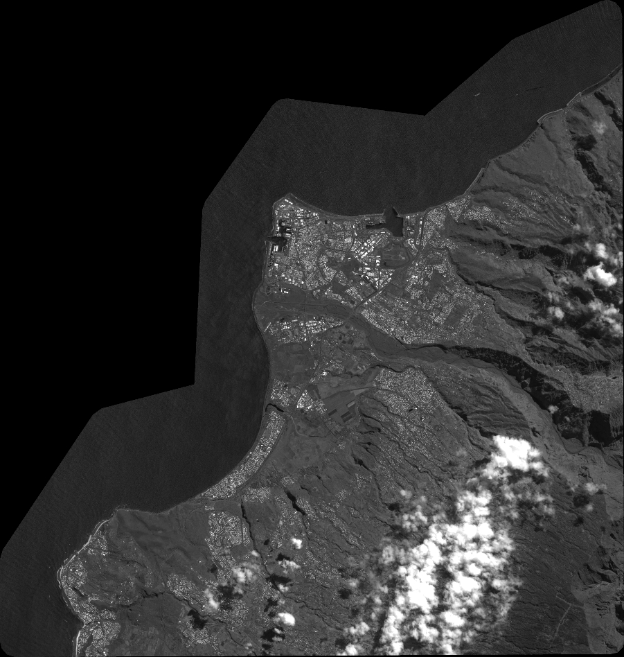
Quicklook
Copyright