TYPE:
SENSOR
LAYER:
DS_PHR1A_202304130637157_FR1_PX_E055S21_0401_01940
FORMAT:
DIMAP
RASTER:
image/jp2
General Information
Map Name
Geometric Processing Level
Radiometric Processing Level
BASIC
Image dimensions
Number of columns
9917
Number of rows
10436
Number of spectral bands
4
Dataset framing
Vertice
Longitude (DEG)
Latitude (DEG)
Row
Col
#1
55.19726754925434
-20.86573153196474
1
#2
55.39472461426394
-20.86245159207621
#3
55.39382668018374
-21.06501609342633
#4
55.19737875115892
-21.06414861944045
Dataset sources
PHR
Coordinate Reference System
Projected Coordinate System
Geocoding tables identification
EPSG(6.3)
Production
Production Date
2023-04-17T13:02:46.233
Job identification
6684874101-2
Dataset Producer Identification
AIRBUS DS GEO
Producer link
http://www.geo-airbusds.com
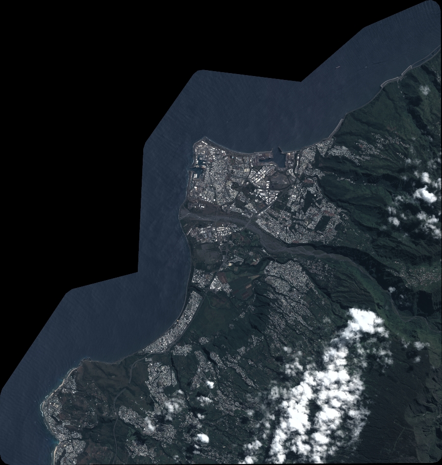
Quicklook
Copyright