TYPE:
SENSOR
LAYER:
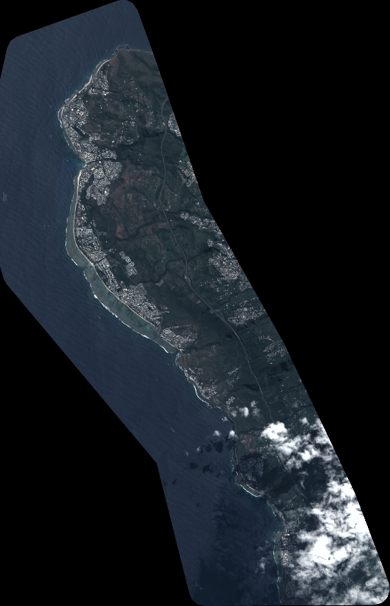
DS_PHR1A_202304130637179_FR1_PX_E055S21_0402_01753
FORMAT:
DIMAP
RASTER:
image/tiff
General Information
Map Name
Geometric Processing Level
Radiometric Processing Level
BASIC
Image dimensions
Number of columns
6229
Number of rows
9665
Number of spectral bands
4
Dataset framing
Vertice
Longitude (DEG)
Latitude (DEG)
Row
Col
#1
55.1969229704956
-21.00456037489391
1
#2
55.32073068398318
-21.00361203785426
#3
55.32046047974556
-21.18781936533355
#4
55.19658312273466
-21.18822248066399
Dataset sources
PHR
Coordinate Reference System
Projected Coordinate System
Geocoding tables identification
EPSG(6.3)
Production
Production Date
2023-04-13T20:46:26.122
Job identification
6682905101-2
Dataset Producer Identification
AIRBUS DS GEO
Producer link
http://www.geo-airbusds.com
Quicklook
Copyright