TYPE:
SENSOR
LAYER:
DS_PHR1A_202304130637162_FR1_PX_E055S21_0402_01307
FORMAT:
DIMAP
RASTER:
image/tiff
General Information
Map Name
Geometric Processing Level
Radiometric Processing Level
BASIC
Image dimensions
Number of columns
6524
Number of rows
7040
Number of spectral bands
4
Dataset framing
Vertice
Longitude (DEG)
Latitude (DEG)
Row
Col
#1
55.24219280262092
-20.90074688350514
1
#2
55.37207656623792
-20.89885612542208
#3
55.37120725277995
-21.03627506983185
#4
55.24223268267993
-21.03495341077422
Dataset sources
PHR
Coordinate Reference System
Projected Coordinate System
Geocoding tables identification
EPSG(6.3)
Production
Production Date
2023-04-13T20:46:32.823
Job identification
6682907101-2
Dataset Producer Identification
AIRBUS DS GEO
Producer link
http://www.geo-airbusds.com
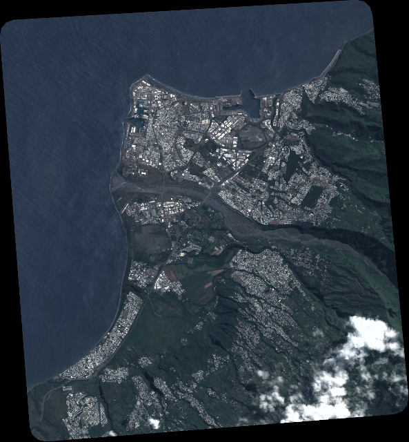
Quicklook
Copyright