TYPE:
SENSOR
LAYER:
DS_PHR1A_202304130637001_FR1_PX_E055S21_0401_01362
FORMAT:
DIMAP
RASTER:
image/tiff
General Information
Map Name
Geometric Processing Level
Radiometric Processing Level
BASIC
Image dimensions
Number of columns
26730
Number of rows
29967
Number of spectral bands
1
Dataset framing
Vertice
Longitude (DEG)
Latitude (DEG)
Row
Col
#1
55.24219437805612
-20.89918596661652
#2
55.37166926669929
-20.89890799195027
#3
55.37128553966136
-21.03536444118245
#4
55.24222484999625
-21.03462855723469
Dataset sources
PHR
Coordinate Reference System
Projected Coordinate System
Geocoding tables identification
EPSG(6.3)
Production
Production Date
2023-04-13T20:47:45.746
Job identification
6682906101-1
Dataset Producer Identification
AIRBUS DS GEO
Producer link
http://www.geo-airbusds.com
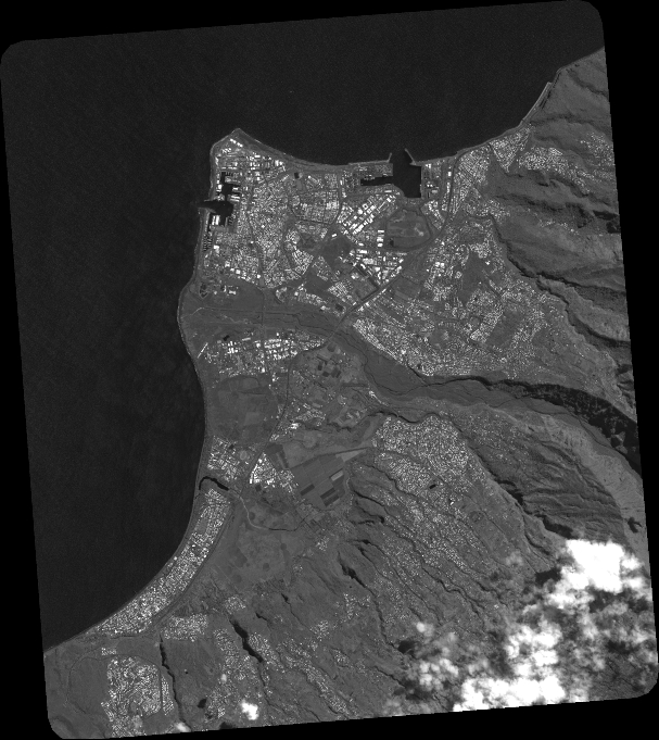
Quicklook
Copyright