TYPE:
SENSOR
LAYER:
DS_PHR1A_202304130637001_FR1_PX_E055S21_0401_01362
FORMAT:
DIMAP
RASTER:
image/tiff
General Information
Map Name
Geometric Processing Level
Radiometric Processing Level
BASIC
Image dimensions
Number of columns
6683
Number of rows
7492
Number of spectral bands
4
Dataset framing
Vertice
Longitude (DEG)
Latitude (DEG)
Row
Col
#1
55.2421967999819
-20.89918821209763
1
#2
55.37166671628459
-20.89891050344171
#3
55.37128318147852
-21.03535752001602
#4
55.24222725738121
-21.03462179542307
Dataset sources
PHR
Coordinate Reference System
Projected Coordinate System
Geocoding tables identification
EPSG(6.3)
Production
Production Date
2023-04-13T20:46:49.559
Job identification
6682906101-2
Dataset Producer Identification
AIRBUS DS GEO
Producer link
http://www.geo-airbusds.com
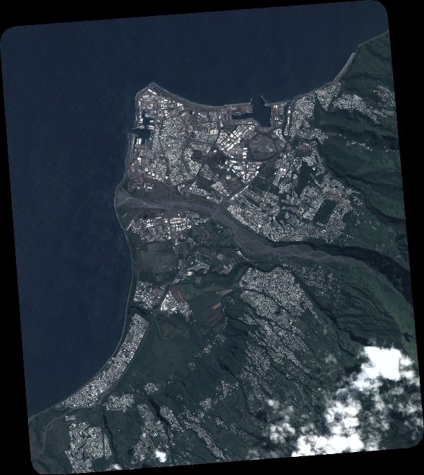
Quicklook
Copyright