TYPE:
SENSOR
LAYER:
DS_PHR1B_202304120644234_FR1_PX_E055S21_0401_01276
FORMAT:
DIMAP
RASTER:
image/tiff
General Information
Map Name
Geometric Processing Level
Radiometric Processing Level
BASIC
Image dimensions
Number of columns
24011
Number of rows
27748
Number of spectral bands
1
Dataset framing
Vertice
Longitude (DEG)
Latitude (DEG)
Row
Col
#1
55.2522344079751
-21.15753627341977
#2
55.37447093894308
-21.16084531804522
#3
55.37968693164165
-21.29878445203654
#4
55.25150427989123
-21.291295636022
Dataset sources
PHR
Coordinate Reference System
Projected Coordinate System
Geocoding tables identification
EPSG(6.3)
Production
Production Date
2023-04-13T07:00:40.735
Job identification
6682602101-1
Dataset Producer Identification
AIRBUS DS GEO
Producer link
http://www.geo-airbusds.com
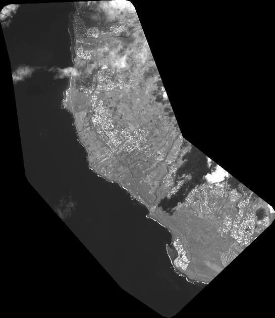
Quicklook
Copyright