TYPE:
SENSOR
LAYER:
DS_PHR1B_202304120644234_FR1_PX_E055S21_0401_01276
FORMAT:
DIMAP
RASTER:
image/tiff
General Information
Map Name
Geometric Processing Level
Radiometric Processing Level
BASIC
Image dimensions
Number of columns
6004
Number of rows
6937
Number of spectral bands
4
Dataset framing
Vertice
Longitude (DEG)
Latitude (DEG)
Row
Col
#1
55.25223700013683
-21.1575484636247
1
#2
55.374483850757
-21.16085787091529
#3
55.37970038243672
-21.29878280903849
#4
55.2515069566126
-21.29129337969934
Dataset sources
PHR
Coordinate Reference System
Projected Coordinate System
Geocoding tables identification
EPSG(6.3)
Production
Production Date
2023-04-13T07:00:28.006
Job identification
6682602101-2
Dataset Producer Identification
AIRBUS DS GEO
Producer link
http://www.geo-airbusds.com
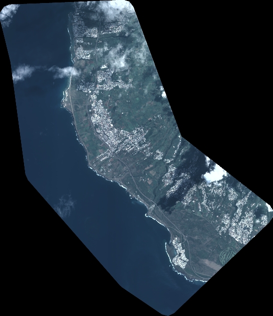
Quicklook
Copyright