TYPE:
SENSOR
LAYER:
DS_PHR1B_202303190629212_FR1_PX_E055S22_1020_00992
FORMAT:
DIMAP
RASTER:
image/jp2
General Information
Map Name
Geometric Processing Level
Radiometric Processing Level
BASIC
Image dimensions
Number of columns
6454
Number of rows
5442
Number of spectral bands
4
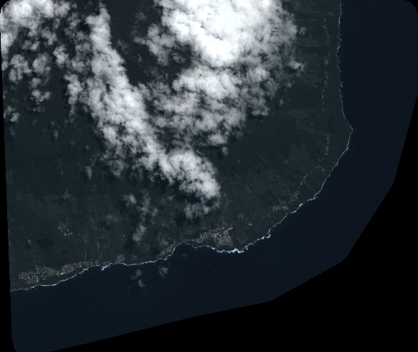
Dataset framing
Vertice
Longitude (DEG)
Latitude (DEG)
Row
Col
#1
55.70347581782989
-21.2944890426409
1
#2
55.8292259668787
-21.29433670620402
#3
55.82951451186258
-21.39372233741796
#4
55.69945011329971
-21.3942079875593
Dataset sources
PHR
Coordinate Reference System
Projected Coordinate System
Geocoding tables identification
EPSG(6.3)
Production
Production Date
2023-03-20T09:53:01.941
Job identification
6667280101-2
Dataset Producer Identification
AIRBUS DS GEO
Producer link
http://www.geo-airbusds.com
Quicklook
Copyright