TYPE:
SENSOR
LAYER:
DS_PHR1B_202303190629400_FR1_PX_E055S21_0801_01666
FORMAT:
DIMAP
RASTER:
image/jp2
General Information
Map Name
Geometric Processing Level
Radiometric Processing Level
BASIC
Image dimensions
Number of columns
38509
Number of rows
36506
Number of spectral bands
1
Dataset framing
Vertice
Longitude (DEG)
Latitude (DEG)
Row
Col
#1
55.53461450931586
-20.87913706448281
#2
55.73277866444682
-20.88867770236158
#3
55.73255196918097
-21.06576770342589
#4
55.53751794471519
-21.0608347605941
Dataset sources
PHR
Coordinate Reference System
Projected Coordinate System
Geocoding tables identification
EPSG(6.3)
Production
Production Date
2023-03-20T09:18:04.413
Job identification
6667271101-1
Dataset Producer Identification
AIRBUS DS GEO
Producer link
http://www.geo-airbusds.com
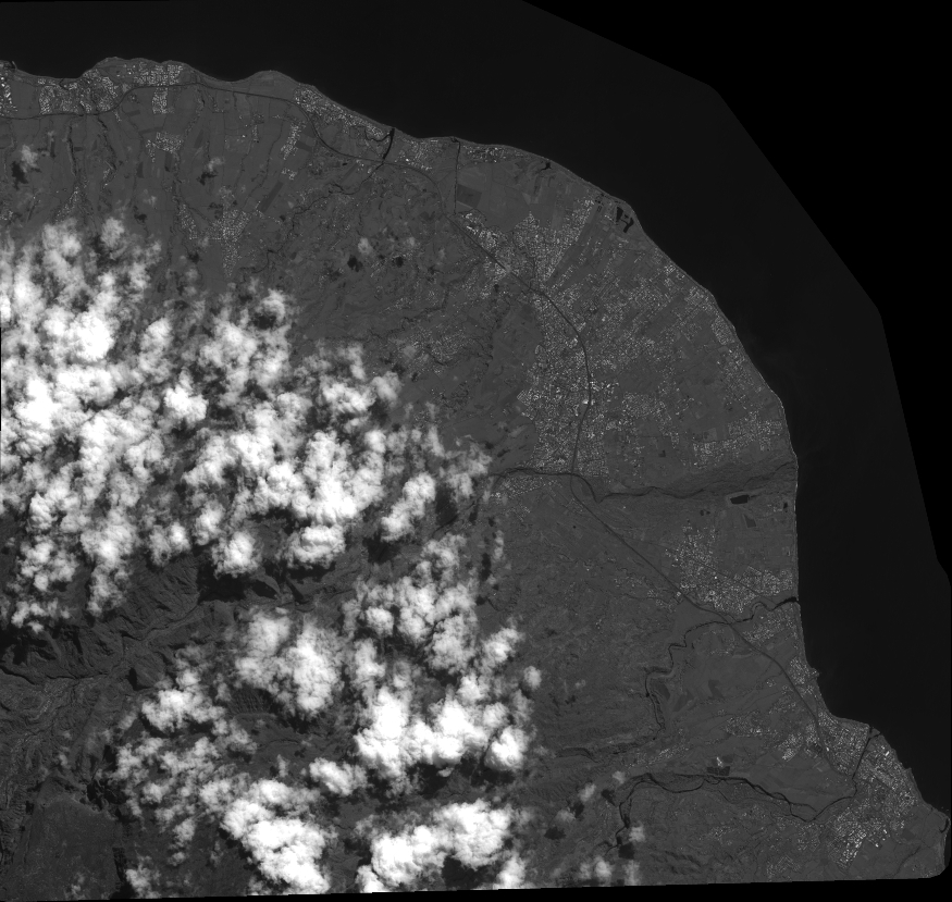
Quicklook
Copyright