TYPE:
SENSOR
LAYER:
DS_PHR1B_202303190629400_FR1_PX_E055S21_0801_01666
FORMAT:
DIMAP
RASTER:
image/jp2
General Information
Map Name
Geometric Processing Level
Radiometric Processing Level
BASIC
Image dimensions
Number of columns
9628
Number of rows
9127
Number of spectral bands
4
Dataset framing
Vertice
Longitude (DEG)
Latitude (DEG)
Row
Col
#1
55.53462225027446
-20.87914475568898
1
#2
55.73278632984862
-20.88868534004234
#3
55.73255960764482
-21.06577040475293
#4
55.53752550926825
-21.06083734000148
Dataset sources
PHR
Coordinate Reference System
Projected Coordinate System
Geocoding tables identification
EPSG(6.3)
Production
Production Date
2023-03-20T09:17:31.625
Job identification
6667271101-2
Dataset Producer Identification
AIRBUS DS GEO
Producer link
http://www.geo-airbusds.com
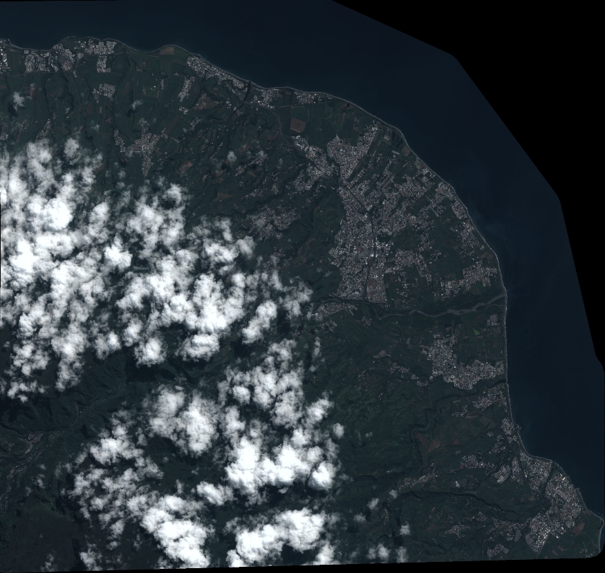
Quicklook
Copyright