TYPE:
SENSOR
LAYER:
DS_PHR1B_202303190629184_FR1_PX_E055S22_1019_01988
FORMAT:
DIMAP
RASTER:
image/jp2
General Information
Map Name
Geometric Processing Level
Radiometric Processing Level
BASIC
Image dimensions
Number of columns
8046
Number of rows
11047
Number of spectral bands
4
Dataset framing
Vertice
Longitude (DEG)
Latitude (DEG)
Row
Col
#1
55.70169241922256
-21.11891933610831
1
#2
55.8628687271306
-21.11959643831445
#3
55.86258288957992
-21.32133088322519
#4
55.70296466880369
-21.32163471160265
Dataset sources
PHR
Coordinate Reference System
Projected Coordinate System
Geocoding tables identification
EPSG(6.3)
Production
Production Date
2023-03-20T10:00:53.784
Job identification
6667279101-2
Dataset Producer Identification
AIRBUS DS GEO
Producer link
http://www.geo-airbusds.com
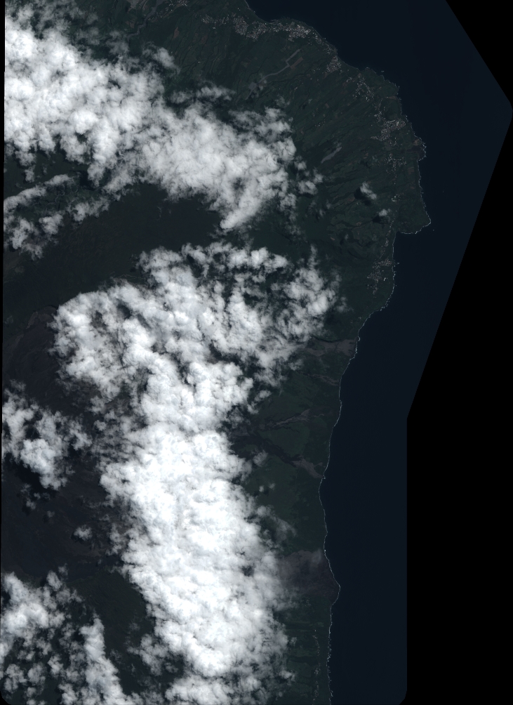
Quicklook
Copyright