TYPE:
SENSOR
LAYER:
DS_PHR1A_202303110640534_FR1_PX_E055S21_0403_00972
FORMAT:
DIMAP
RASTER:
image/jp2
General Information
Map Name
Geometric Processing Level
Radiometric Processing Level
BASIC
Image dimensions
Number of columns
5949
Number of rows
5350
Number of spectral bands
4
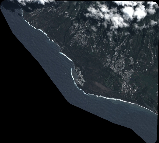
Dataset framing
Vertice
Longitude (DEG)
Latitude (DEG)
Row
Col
#1
55.27510604728209
-21.21712394373528
1
#2
55.39420057437834
-21.21573166341263
#3
55.39595563419584
-21.31452356423776
#4
55.2743670031394
-21.31688876576845
Dataset sources
PHR
Coordinate Reference System
Projected Coordinate System
Geocoding tables identification
EPSG(6.3)
Production
Production Date
2023-03-13T09:59:47.358
Job identification
6662293101-2
Dataset Producer Identification
AIRBUS DS GEO
Producer link
http://www.geo-airbusds.com
Quicklook
Copyright