TYPE:
SENSOR
LAYER:
DS_PHR1A_202303110640347_FR1_PX_E055S21_0602_01874
FORMAT:
DIMAP
RASTER:
image/jp2
General Information
Map Name
Geometric Processing Level
Radiometric Processing Level
BASIC
Image dimensions
Number of columns
39844
Number of rows
41517
Number of spectral bands
1
Dataset framing
Vertice
Longitude (DEG)
Latitude (DEG)
Row
Col
#1
55.3644082477356
-21.19735028909078
#2
55.56347477862586
-21.19954787073808
#3
55.56599397166183
-21.39076584810729
#4
55.36519163844911
-21.38733091016091
Dataset sources
PHR
Coordinate Reference System
Projected Coordinate System
Geocoding tables identification
EPSG(6.3)
Production
Production Date
2023-03-13T10:03:13.423
Job identification
6662292101-1
Dataset Producer Identification
AIRBUS DS GEO
Producer link
http://www.geo-airbusds.com
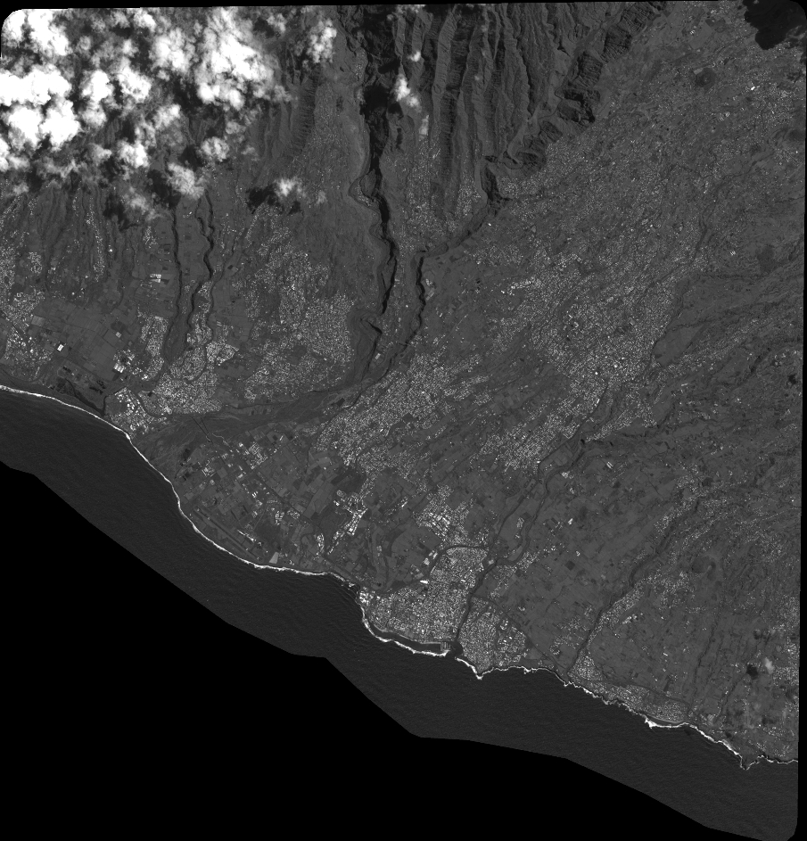
Quicklook
Copyright