TYPE:
SENSOR
LAYER:
DS_PHR1A_202303110640347_FR1_PX_E055S21_0602_01874
FORMAT:
DIMAP
RASTER:
image/jp2
General Information
Map Name
Geometric Processing Level
Radiometric Processing Level
BASIC
Image dimensions
Number of columns
9962
Number of rows
10379
Number of spectral bands
4
Dataset framing
Vertice
Longitude (DEG)
Latitude (DEG)
Row
Col
#1
55.3644160524837
-21.19736188077482
1
#2
55.5634875257131
-21.19955951540305
#3
55.56600667384112
-21.39075917590872
#4
55.36519921895798
-21.38732419891222
Dataset sources
PHR
Coordinate Reference System
Projected Coordinate System
Geocoding tables identification
EPSG(6.3)
Production
Production Date
2023-03-13T10:02:39.349
Job identification
6662292101-2
Dataset Producer Identification
AIRBUS DS GEO
Producer link
http://www.geo-airbusds.com
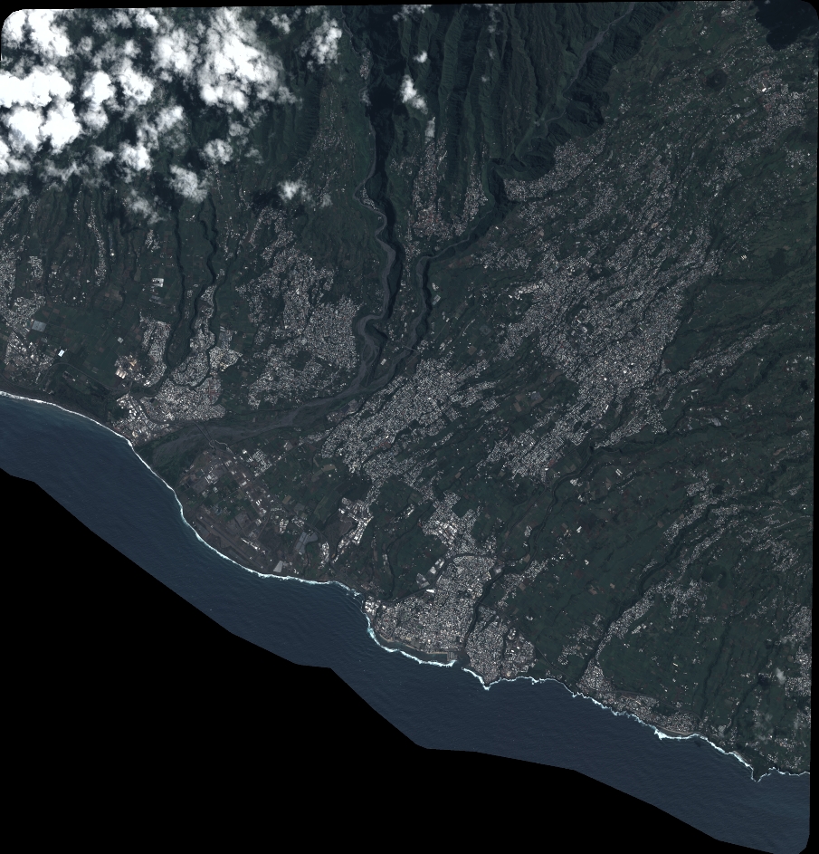
Quicklook
Copyright