TYPE:
SENSOR
LAYER:
DS_PHR1A_202302270633026_FR1_PX_E055S21_1001_01020
FORMAT:
DIMAP
RASTER:
image/jp2
General Information
Map Name
Geometric Processing Level
Radiometric Processing Level
BASIC
Image dimensions
Number of columns
6526
Number of rows
5620
Number of spectral bands
4
Dataset framing
Vertice
Longitude (DEG)
Latitude (DEG)
Row
Col
#1
55.70331281505104
-21.29426434425015
1
#2
55.82925385670632
-21.29315505014881
#3
55.82934236547567
-21.39469649676675
#4
55.70232982127081
-21.39437028802151
Dataset sources
PHR
Coordinate Reference System
Projected Coordinate System
Geocoding tables identification
EPSG(6.3)
Production
Production Date
2023-03-20T09:55:10.943
Job identification
6667277101-2
Dataset Producer Identification
AIRBUS DS GEO
Producer link
http://www.geo-airbusds.com
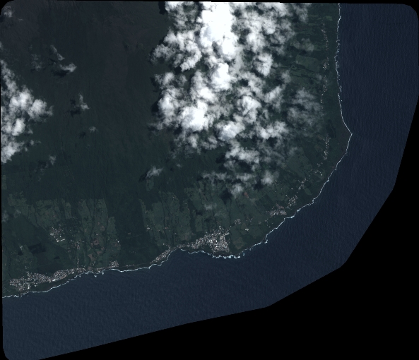
Quicklook
Copyright