TYPE:
SENSOR
LAYER:
DS_PHR1A_202211270640418_FR1_PX_E055S22_0823_01708
FORMAT:
DIMAP
RASTER:
image/jp2
General Information
Map Name
Geometric Processing Level
Radiometric Processing Level
BASIC
Image dimensions
Number of columns
39815
Number of rows
38000
Number of spectral bands
1
Dataset framing
Vertice
Longitude (DEG)
Latitude (DEG)
Row
Col
#1
55.5108831611101
-20.96780487857618
#2
55.71361888639289
-20.9751397841736
#3
55.71197422114746
-21.15177868390291
#4
55.50850352303814
-21.14319763751943
Dataset sources
PHR
Coordinate Reference System
Projected Coordinate System
Geocoding tables identification
EPSG(6.3)
Production
Production Date
2022-12-06T17:19:20.618
Job identification
6581030101-1
Dataset Producer Identification
AIRBUS DS GEO
Producer link
http://www.geo-airbusds.com
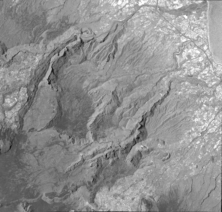
Quicklook
Copyright