TYPE:
SENSOR
LAYER:
DS_PHR1A_202210130637168_FR1_PX_E055S22_0324_01037
FORMAT:
DIMAP
RASTER:
image/jp2
General Information
Map Name
Geometric Processing Level
Radiometric Processing Level
BASIC
Image dimensions
Number of columns
4385
Number of rows
5719
Number of spectral bands
4
Dataset framing
Vertice
Longitude (DEG)
Latitude (DEG)
Row
Col
#1
55.18042262193574
-20.97416933287008
1
#2
55.26517351108943
-20.97419286313174
#3
55.26507787542913
-21.07698410216775
#4
55.18032939198367
-21.07686209020251
Dataset sources
PHR
Coordinate Reference System
Projected Coordinate System
Geocoding tables identification
EPSG(6.3)
Production
Production Date
2022-10-24T13:47:00.910
Job identification
6540679101-2
Dataset Producer Identification
AIRBUS DS GEO
Producer link
http://www.geo-airbusds.com
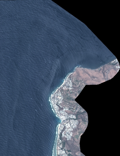
Quicklook
Copyright