TYPE:
SENSOR
LAYER:
DS_PHR1A_202209240633415_FR1_PX_E055S22_0824_01061
FORMAT:
DIMAP
RASTER:
image/tiff
General Information
Map Name
Geometric Processing Level
Radiometric Processing Level
BASIC
Image dimensions
Number of columns
39814
Number of rows
23350
Number of spectral bands
1
Dataset framing
Vertice
Longitude (DEG)
Latitude (DEG)
Row
Col
#1
55.51456813263183
-21.29136326709571
#2
55.70896300862651
-21.2925286686347
#3
55.70820239770313
-21.39672888152229
#4
55.51435350738091
-21.39642911851776
Dataset sources
PHR
Coordinate Reference System
Projected Coordinate System
Geocoding tables identification
EPSG(6.3)
Production
Production Date
2022-09-24T20:53:33.986
Job identification
6510156101-1
Dataset Producer Identification
AIRBUS DS GEO
Producer link
http://www.geo-airbusds.com
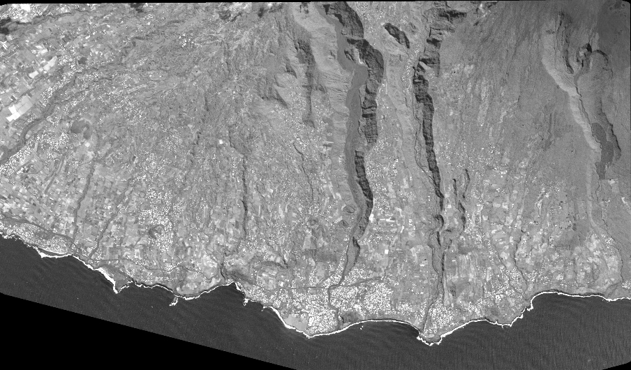
Quicklook
Copyright