TYPE:
SENSOR
LAYER:
DS_PHR1A_202209240633415_FR1_PX_E055S22_0824_01061
FORMAT:
DIMAP
RASTER:
image/tiff
General Information
Map Name
Geometric Processing Level
Radiometric Processing Level
BASIC
Image dimensions
Number of columns
9954
Number of rows
5837
Number of spectral bands
4
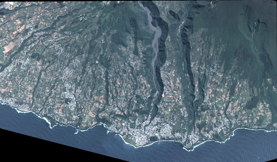
Dataset framing
Vertice
Longitude (DEG)
Latitude (DEG)
Row
Col
#1
55.51457536548961
-21.29137901243606
1
#2
55.70896535976302
-21.2925443413008
#3
55.70820481855155
-21.39672212582904
#4
55.51436081095094
-21.3964223616228
Dataset sources
PHR
Coordinate Reference System
Projected Coordinate System
Geocoding tables identification
EPSG(6.3)
Production
Production Date
2022-09-24T20:53:16.745
Job identification
6510156101-2
Dataset Producer Identification
AIRBUS DS GEO
Producer link
http://www.geo-airbusds.com
Quicklook
Copyright