TYPE:
SENSOR
LAYER:
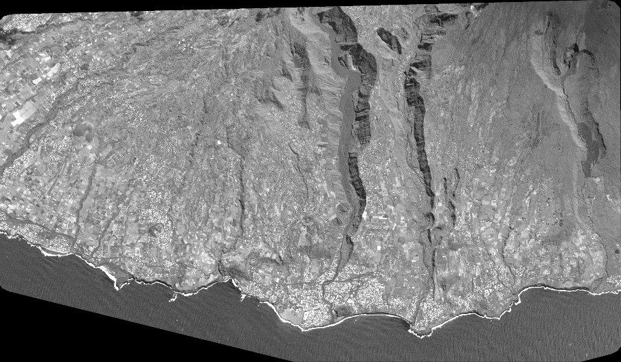
DS_PHR1A_202209240633573_FR1_PX_E055S22_0824_01056
FORMAT:
DIMAP
RASTER:
image/tiff
General Information
Map Name
Geometric Processing Level
Radiometric Processing Level
BASIC
Image dimensions
Number of columns
39816
Number of rows
23203
Number of spectral bands
1
Dataset framing
Vertice
Longitude (DEG)
Latitude (DEG)
Row
Col
#1
55.51314981435644
-21.28821125435913
#2
55.71018035288199
-21.29249912538116
#3
55.70993421173079
-21.39719890125192
#4
55.51284321054315
-21.39603501253076
Dataset sources
PHR
Coordinate Reference System
Projected Coordinate System
Geocoding tables identification
EPSG(6.3)
Production
Production Date
2022-09-24T20:55:40.911
Job identification
6510155101-1
Dataset Producer Identification
AIRBUS DS GEO
Producer link
http://www.geo-airbusds.com
Quicklook
Copyright