TYPE:
SENSOR
LAYER:
DS_PHR1A_202209240633166_FR1_PX_E055S22_0824_01089
FORMAT:
DIMAP
RASTER:
image/tiff
General Information
Map Name
Geometric Processing Level
Radiometric Processing Level
BASIC
Image dimensions
Number of columns
39684
Number of rows
23172
Number of spectral bands
1
Dataset framing
Vertice
Longitude (DEG)
Latitude (DEG)
Row
Col
#1
55.51199503128926
-21.29267073537945
#2
55.71205613573676
-21.28464372633956
#3
55.71061885853152
-21.39719732431964
#4
55.51186661398884
-21.40282285473504
Dataset sources
PHR
Coordinate Reference System
Projected Coordinate System
Geocoding tables identification
EPSG(6.3)
Production
Production Date
2022-09-24T20:54:25.416
Job identification
6510154101-1
Dataset Producer Identification
AIRBUS DS GEO
Producer link
http://www.geo-airbusds.com
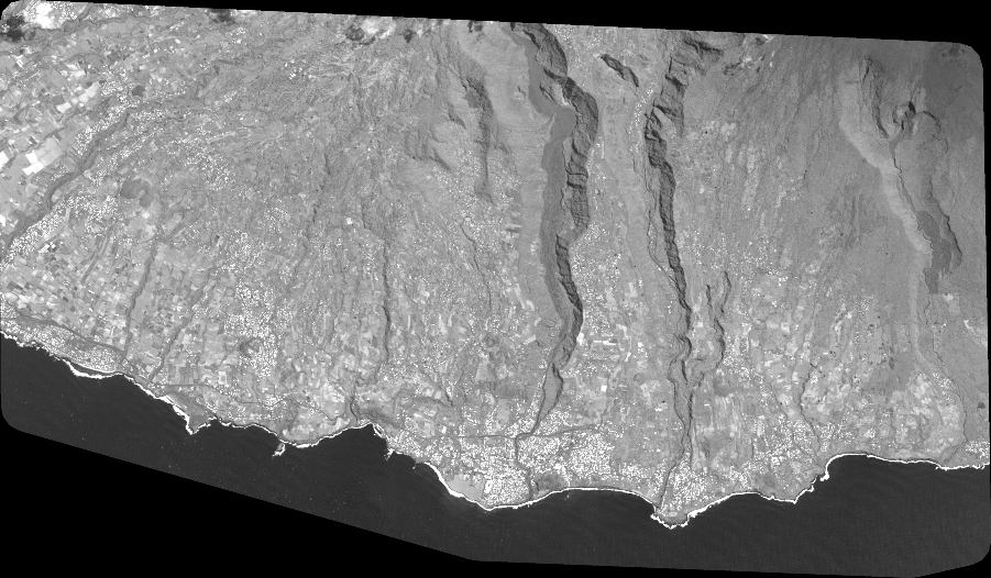
Quicklook
Copyright