TYPE:
SENSOR
LAYER:
DS_PHR1B_202209180629180_FR1_PX_E055S21_0602_01190
FORMAT:
DIMAP
RASTER:
image/jp2
General Information
Map Name
Geometric Processing Level
Radiometric Processing Level
BASIC
Image dimensions
Number of columns
38515
Number of rows
26228
Number of spectral bands
1
Dataset framing
Vertice
Longitude (DEG)
Latitude (DEG)
Row
Col
#1
55.34340286338066
-20.86084734768826
#2
55.54275508386402
-20.86778443153879
#3
55.54531241372062
-20.99234984161353
#4
55.34484812826194
-20.98541344482046
Dataset sources
PHR
Coordinate Reference System
Projected Coordinate System
Geocoding tables identification
EPSG(6.3)
Production
Production Date
2022-09-19T15:01:32.239
Job identification
6504408101-1
Dataset Producer Identification
AIRBUS DS GEO
Producer link
http://www.geo-airbusds.com
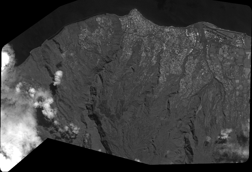
Quicklook
Copyright