TYPE:
SENSOR
LAYER:
DS_PHR1B_202209180629180_FR1_PX_E055S21_0602_01190
FORMAT:
DIMAP
RASTER:
image/jp2
General Information
Map Name
Geometric Processing Level
Radiometric Processing Level
BASIC
Image dimensions
Number of columns
9630
Number of rows
6557
Number of spectral bands
4
Dataset framing
Vertice
Longitude (DEG)
Latitude (DEG)
Row
Col
#1
55.34341068179344
-20.86085470072767
1
#2
55.54277302601329
-20.86779206411529
#3
55.54532951650312
-20.99234287065556
#4
55.34485607863596
-20.98540668749192
Dataset sources
PHR
Coordinate Reference System
Projected Coordinate System
Geocoding tables identification
EPSG(6.3)
Production
Production Date
2022-09-19T15:01:15.637
Job identification
6504408101-2
Dataset Producer Identification
AIRBUS DS GEO
Producer link
http://www.geo-airbusds.com
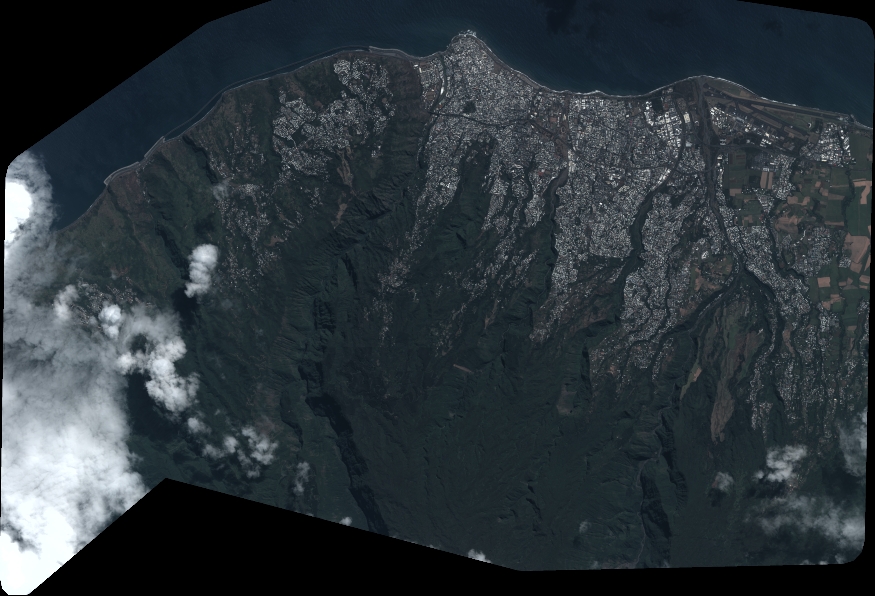
Quicklook
Copyright