TYPE:
SENSOR
LAYER:
DS_PHR1A_202208100629439_FR1_PX_E055S21_0802_01117
FORMAT:
DIMAP
RASTER:
image/jp2
General Information
Map Name
Geometric Processing Level
Radiometric Processing Level
BASIC
Image dimensions
Number of columns
39214
Number of rows
24496
Number of spectral bands
1
Dataset framing
Vertice
Longitude (DEG)
Latitude (DEG)
Row
Col
#1
55.50926015253555
-20.87302172600958
#2
55.71039199761375
-20.88167607997043
#3
55.71031611016128
-20.99844914486669
#4
55.51257618430147
-20.9935799013901
Dataset sources
PHR
Coordinate Reference System
Projected Coordinate System
Geocoding tables identification
EPSG(6.3)
Production
Production Date
2022-08-11T16:42:39.279
Job identification
6456356201-1
Dataset Producer Identification
AIRBUS DS GEO
Producer link
http://www.geo-airbusds.com
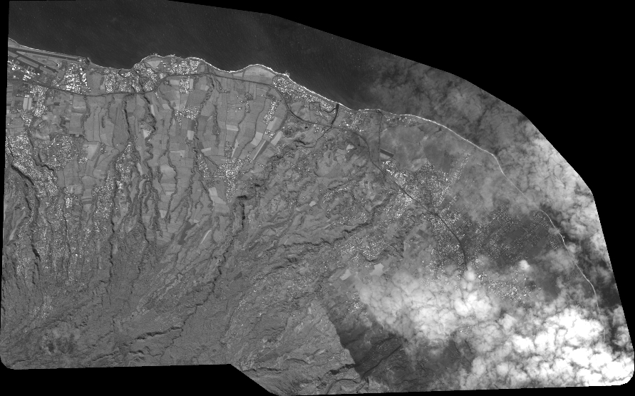
Quicklook
Copyright