TYPE:
SENSOR
LAYER:
DS_PHR1A_202208100629439_FR1_PX_E055S21_0802_01117
FORMAT:
DIMAP
RASTER:
image/jp2
General Information
Map Name
Geometric Processing Level
Radiometric Processing Level
BASIC
Image dimensions
Number of columns
9804
Number of rows
6125
Number of spectral bands
4
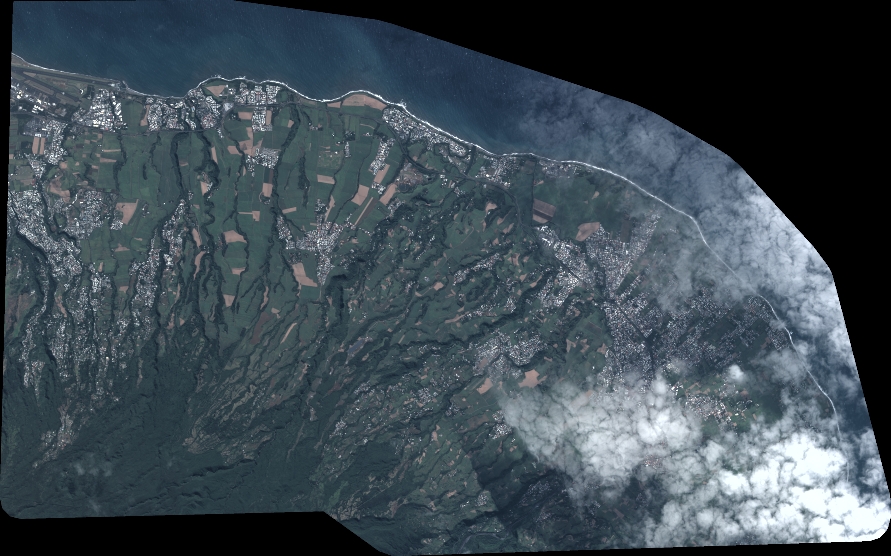
Dataset framing
Vertice
Longitude (DEG)
Latitude (DEG)
Row
Col
#1
55.50927306162101
-20.87301986806399
1
#2
55.71039965154349
-20.88167399085637
#3
55.71032373573959
-20.99845182253013
#4
55.51258885086195
-20.99358264124147
Dataset sources
PHR
Coordinate Reference System
Projected Coordinate System
Geocoding tables identification
EPSG(6.3)
Production
Production Date
2022-08-11T16:42:02.882
Job identification
6456356201-2
Dataset Producer Identification
AIRBUS DS GEO
Producer link
http://www.geo-airbusds.com
Quicklook
Copyright