TYPE:
SENSOR
LAYER:
DS_PHR1B_202208020640519_FR1_PX_E055S22_0619_01797
FORMAT:
DIMAP
RASTER:
image/jp2
General Information
Map Name
Geometric Processing Level
Radiometric Processing Level
BASIC
Image dimensions
Number of columns
39926
Number of rows
39892
Number of spectral bands
1
Dataset framing
Vertice
Longitude (DEG)
Latitude (DEG)
Row
Col
#1
55.34217168380324
-21.13618172114888
#2
55.54210830109378
-21.1341952877704
#3
55.54484842125093
-21.31718576650326
#4
55.34435245785509
-21.31798815538578
Dataset sources
PHR
Coordinate Reference System
Projected Coordinate System
Geocoding tables identification
EPSG(6.3)
Production
Production Date
2022-08-02T21:12:59.350
Job identification
6446889101-1
Dataset Producer Identification
AIRBUS DS GEO
Producer link
http://www.geo-airbusds.com
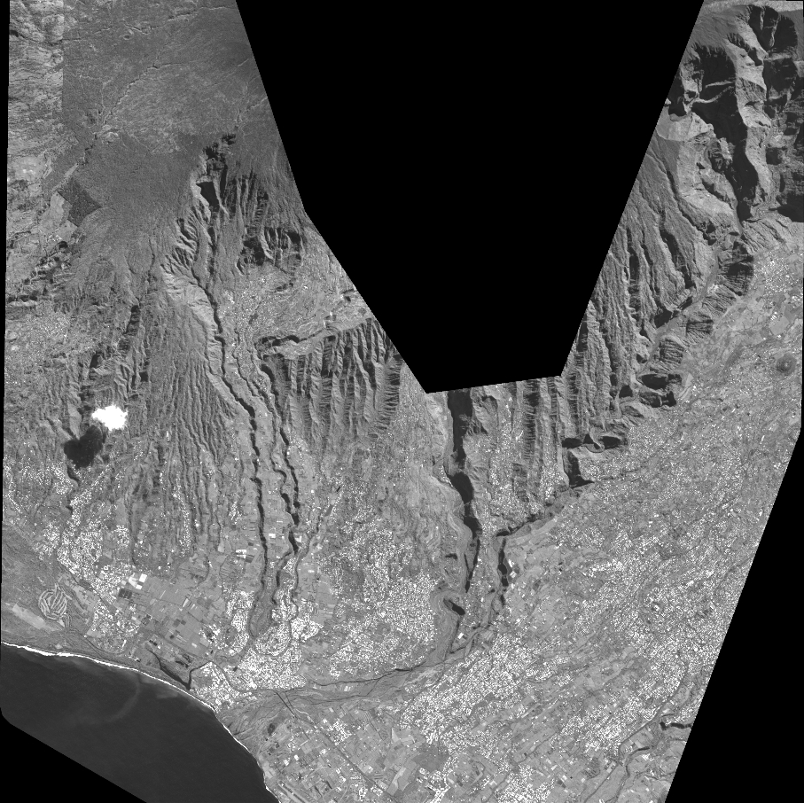
Quicklook
Copyright