TYPE:
SENSOR
LAYER:
DS_PHR1B_202208020641015_FR1_PX_E055S22_0419_01738
FORMAT:
DIMAP
RASTER:
image/jp2
General Information
Map Name
Geometric Processing Level
Radiometric Processing Level
BASIC
Image dimensions
Number of columns
25508
Number of rows
38560
Number of spectral bands
1
Dataset framing
Vertice
Longitude (DEG)
Latitude (DEG)
Row
Col
#1
55.24825220894505
-21.13352026761023
#2
55.37342428783585
-21.13243917000792
#3
55.37809583717923
-21.31002900479447
#4
55.24809338438551
-21.31315005481647
Dataset sources
PHR
Coordinate Reference System
Projected Coordinate System
Geocoding tables identification
EPSG(6.3)
Production
Production Date
2022-08-02T21:10:39.498
Job identification
6446890101-1
Dataset Producer Identification
AIRBUS DS GEO
Producer link
http://www.geo-airbusds.com
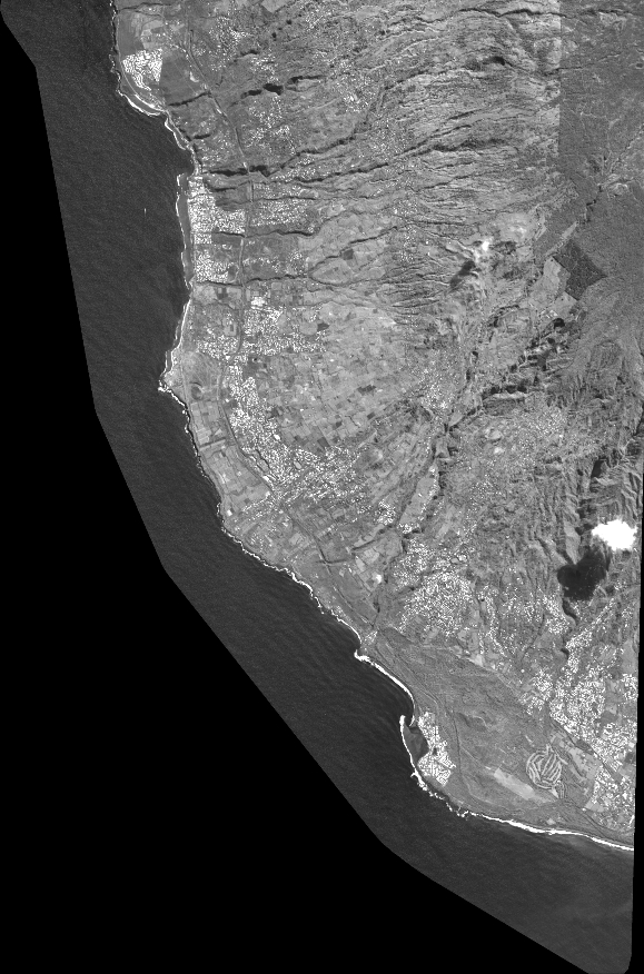
Quicklook
Copyright