TYPE:
SENSOR
LAYER:
DS_PHR1B_202208020641015_FR1_PX_E055S22_0419_01738
FORMAT:
DIMAP
RASTER:
image/jp2
General Information
Map Name
Geometric Processing Level
Radiometric Processing Level
BASIC
Image dimensions
Number of columns
6377
Number of rows
9640
Number of spectral bands
4
Dataset framing
Vertice
Longitude (DEG)
Latitude (DEG)
Row
Col
#1
55.24825979207282
-21.13352703433222
1
#2
55.37341710894444
-21.13244614479497
#3
55.37808817341021
-21.31002217857177
#4
55.24810100795442
-21.3131428905183
Dataset sources
PHR
Coordinate Reference System
Projected Coordinate System
Geocoding tables identification
EPSG(6.3)
Production
Production Date
2022-08-02T21:10:21.143
Job identification
6446890101-2
Dataset Producer Identification
AIRBUS DS GEO
Producer link
http://www.geo-airbusds.com
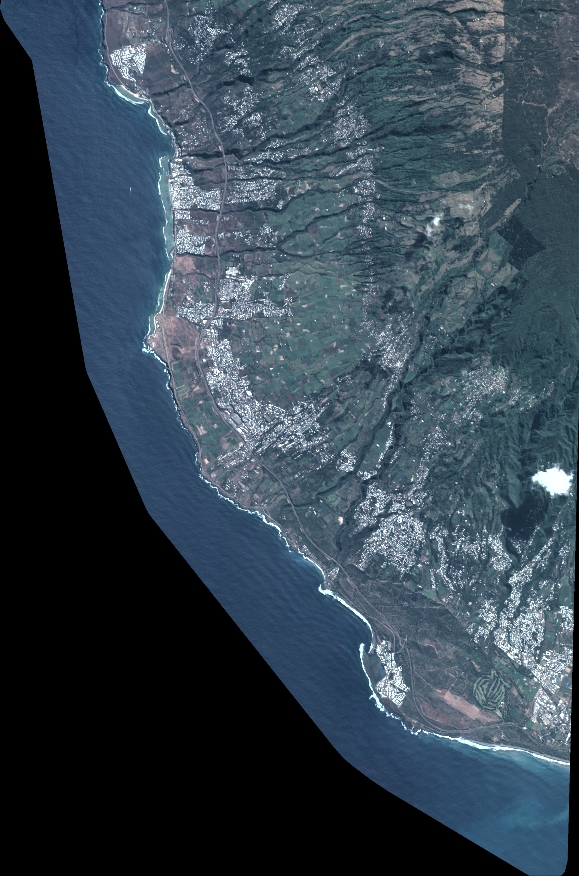
Quicklook
Copyright