TYPE:
SENSOR
LAYER:
DS_PHR1A_202207200640539_FR1_PX_E055S21_0602_01277
FORMAT:
DIMAP
RASTER:
image/jp2
General Information
Map Name
Geometric Processing Level
Radiometric Processing Level
BASIC
Image dimensions
Number of columns
9948
Number of rows
7074
Number of spectral bands
4
Dataset framing
Vertice
Longitude (DEG)
Latitude (DEG)
Row
Col
#1
55.34547796540665
-20.85666733445138
1
#2
55.54400550773741
-20.85758268260346
#3
55.54200030088978
-20.98670680977314
#4
55.3443883619407
-20.98528029961759
Dataset sources
PHR
Coordinate Reference System
Projected Coordinate System
Geocoding tables identification
EPSG(6.3)
Production
Production Date
2022-07-21T07:26:25.704
Job identification
6433555101-2
Dataset Producer Identification
AIRBUS DS GEO
Producer link
http://www.geo-airbusds.com
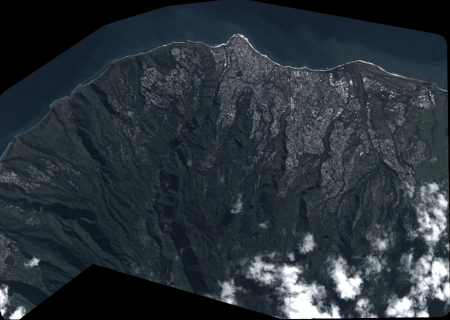
Quicklook
Copyright