TYPE:
SENSOR
LAYER:
DS_PHR1A_202207200640419_FR1_PX_E055S21_0802_01235
FORMAT:
DIMAP
RASTER:
image/jp2
General Information
Map Name
Geometric Processing Level
Radiometric Processing Level
BASIC
Image dimensions
Number of columns
39179
Number of rows
26972
Number of spectral bands
1
Dataset framing
Vertice
Longitude (DEG)
Latitude (DEG)
Row
Col
#1
55.51223507560927
-20.86777165588994
#2
55.70984838383387
-20.87279295509658
#3
55.71033754841097
-20.99902257209708
#4
55.50962728572255
-20.9910602938062
Dataset sources
PHR
Coordinate Reference System
Projected Coordinate System
Geocoding tables identification
EPSG(6.3)
Production
Production Date
2022-08-11T16:42:51.501
Job identification
6456355201-1
Dataset Producer Identification
AIRBUS DS GEO
Producer link
http://www.geo-airbusds.com
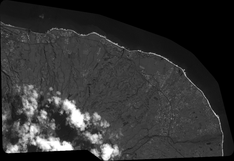
Quicklook
Copyright