TYPE:
SENSOR
LAYER:
DS_PHR1A_202207200640419_FR1_PX_E055S21_0802_01235
FORMAT:
DIMAP
RASTER:
image/jp2
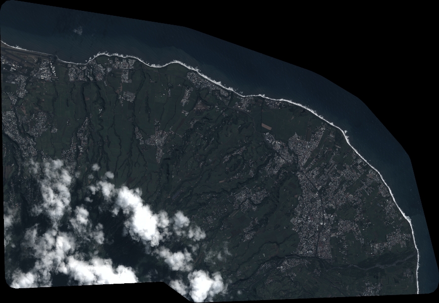
General Information
Map Name
Geometric Processing Level
Radiometric Processing Level
BASIC
Image dimensions
Number of columns
9795
Number of rows
6744
Number of spectral bands
4
Dataset framing
Vertice
Longitude (DEG)
Latitude (DEG)
Row
Col
#1
55.51224763252088
-20.86777895923748
1
#2
55.7098509600373
-20.87280003823816
#3
55.71034012618092
-20.99903435317871
#4
55.50963978191506
-20.99107227510293
Dataset sources
PHR
Coordinate Reference System
Projected Coordinate System
Geocoding tables identification
EPSG(6.3)
Production
Production Date
2022-08-11T16:42:35.150
Job identification
6456355201-2
Dataset Producer Identification
AIRBUS DS GEO
Producer link
http://www.geo-airbusds.com
Quicklook
Copyright