TYPE:
SENSOR
LAYER:
DS_PHR1B_202207070640264_FR1_PX_E055S22_0723_01594
FORMAT:
DIMAP
RASTER:
image/jp2
General Information
Map Name
Geometric Processing Level
Radiometric Processing Level
BASIC
Image dimensions
Number of columns
3352
Number of rows
8799
Number of spectral bands
4
Dataset framing
Vertice
Longitude (DEG)
Latitude (DEG)
Row
Col
#1
55.50965877158676
-21.12799950340319
1
#2
55.57786102242041
-21.12992517104939
#3
55.57819726904376
-21.29253039542333
#4
55.51199828340027
-21.2915403362277
Dataset sources
PHR
Coordinate Reference System
Projected Coordinate System
Geocoding tables identification
EPSG(6.3)
Production
Production Date
2022-07-07T20:44:20.637
Job identification
6419265101-2
Dataset Producer Identification
AIRBUS DS GEO
Producer link
http://www.geo-airbusds.com
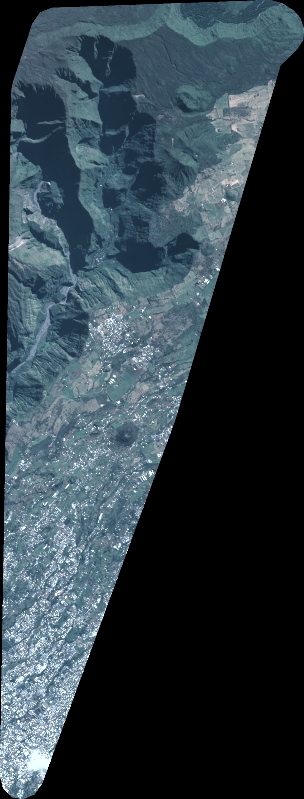
Quicklook
Copyright