TYPE:
SENSOR
LAYER:
DS_PHR1A_202207010637203_FR1_PX_E055S22_0323_01517
FORMAT:
DIMAP
RASTER:
image/jp2
General Information
Map Name
Geometric Processing Level
Radiometric Processing Level
BASIC
Image dimensions
Number of columns
17561
Number of rows
33643
Number of spectral bands
1
Dataset framing
Vertice
Longitude (DEG)
Latitude (DEG)
Row
Col
#1
55.17983866206478
-20.97332813361675
#2
55.26513084430552
-20.972949524486
#3
55.26524303639726
-21.12549529174796
#4
55.1798417124226
-21.1257618583387
Dataset sources
PHR
Coordinate Reference System
Projected Coordinate System
Geocoding tables identification
EPSG(6.3)
Production
Production Date
2022-10-24T13:47:01.253
Job identification
6540678101-1
Dataset Producer Identification
AIRBUS DS GEO
Producer link
http://www.geo-airbusds.com
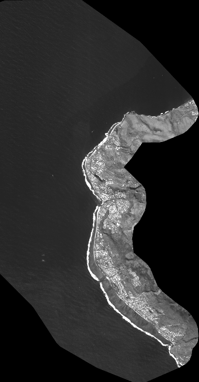
Quicklook
Copyright