TYPE:
SENSOR
LAYER:
DS_PHR1A_202206240640583_FR1_PX_E055S21_0603_00749
FORMAT:
DIMAP
RASTER:
image/jp2
General Information
Map Name
Geometric Processing Level
Radiometric Processing Level
BASIC
Image dimensions
Number of columns
33912
Number of rows
16397
Number of spectral bands
1
Dataset framing
Vertice
Longitude (DEG)
Latitude (DEG)
Row
Col
#1
55.34773260258432
-21.2904987108009
#2
55.51757239773196
-21.29258773727689
#3
55.51812008868888
-21.36803387544615
#4
55.34705329708039
-21.36538250439131
Dataset sources
PHR
Coordinate Reference System
Projected Coordinate System
Geocoding tables identification
EPSG(6.3)
Production
Production Date
2022-06-24T20:59:37.358
Job identification
6405245101-1
Dataset Producer Identification
AIRBUS DS GEO
Producer link
http://www.geo-airbusds.com
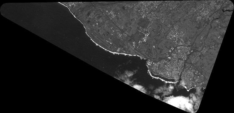
Quicklook
Copyright