TYPE:
SENSOR
LAYER:
DS_PHR1A_202206240640583_FR1_PX_E055S21_0603_00749
FORMAT:
DIMAP
RASTER:
image/jp2
General Information
Map Name
Geometric Processing Level
Radiometric Processing Level
BASIC
Image dimensions
Number of columns
8478
Number of rows
4099
Number of spectral bands
4
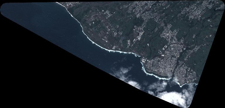
Dataset framing
Vertice
Longitude (DEG)
Latitude (DEG)
Row
Col
#1
55.34774499606374
-21.29051030368528
1
#2
55.5175699563739
-21.29259921661702
#3
55.51811755873704
-21.36802695641244
#4
55.34706586544754
-21.36537585887214
Dataset sources
PHR
Coordinate Reference System
Projected Coordinate System
Geocoding tables identification
EPSG(6.3)
Production
Production Date
2022-06-24T20:59:28.124
Job identification
6405245101-2
Dataset Producer Identification
AIRBUS DS GEO
Producer link
http://www.geo-airbusds.com
Quicklook
Copyright