TYPE:
SENSOR
LAYER:
DS_PHR1A_202206190629378_FR1_PX_E055S22_0924_00747
FORMAT:
DIMAP
RASTER:
image/jp2
General Information
Map Name
Geometric Processing Level
Radiometric Processing Level
BASIC
Image dimensions
Number of columns
7724
Number of rows
16290
Number of spectral bands
1
Dataset framing
Vertice
Longitude (DEG)
Latitude (DEG)
Row
Col
#1
55.67956648550364
-20.9698486380525
#2
55.71839616045636
-20.97047543492117
#3
55.71845137167221
-21.0455248986964
#4
55.67987548292471
-21.04507139094538
Dataset sources
PHR
Coordinate Reference System
Projected Coordinate System
Geocoding tables identification
EPSG(6.3)
Production
Production Date
2022-06-20T14:08:25.406
Job identification
6400491101-1
Dataset Producer Identification
AIRBUS DS GEO
Producer link
http://www.geo-airbusds.com
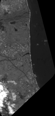
Quicklook
Copyright