TYPE:
SENSOR
LAYER:
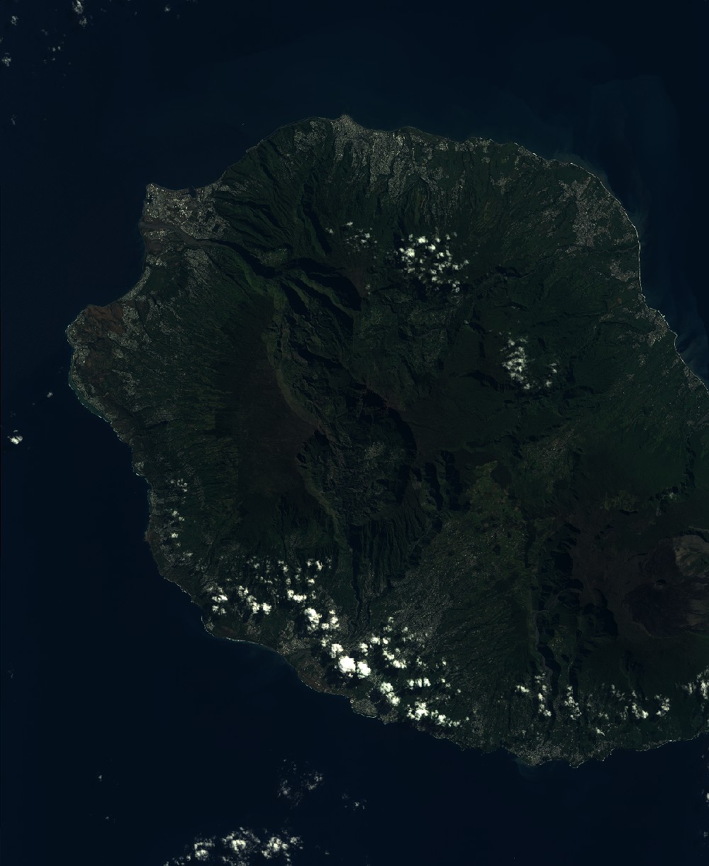
SEN_SPOT7_20220510_061109100_000
FORMAT:
DIMAP
RASTER:
image/jp2
General Information
Map Name
Geometric Processing Level
Radiometric Processing Level
BASIC
Image dimensions
Number of columns
9648
Number of rows
11777
Number of spectral bands
4
Dataset framing
Vertice
Longitude (DEG)
Latitude (DEG)
Row
Col
#1
55.1621336361
-20.7772072345
1
#2
55.7583469845
-20.7859688176
#3
55.7626558636
-21.4681159803
#4
55.1586459159
-21.4576701679
Dataset sources
SPOT
Coordinate Reference System
Projected Coordinate System
Geocoding tables identification
ITU(0.0)
Production
Production Date
2022-05-13T10:02:09.00Z
Job identification
SPOT7_20220513_0923291vjk3k5ze1hte_1
Dataset Producer Identification
"SRD GEOSUD / IRD, Irstea, IGN"
Producer link
http://geosud.teledetection.fr/
Quicklook
Copyright